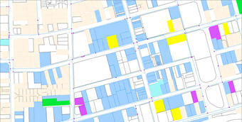
Models covering large distances, or located relative to man-made boundaries/features are typically built on top of a mapping background imported from external information sources. In addition, users are able to manually create simple line work and text to annotate a small model's mapping background.
The software operates best with mapping coordinates (easting, northing) from a national mapping grid. The software can also work with local project coordinates, however this limits the ability to export model outputs to geo-spatial environments.
Mapping backgrounds can be imported in two formats:
 The software can use the following map backgrounds, imported as Shape files, to automatically assign elevation to model components and calculate the water demand at nodes on the model:
 Information imported as DXF files form backgrounds only used for visual display: